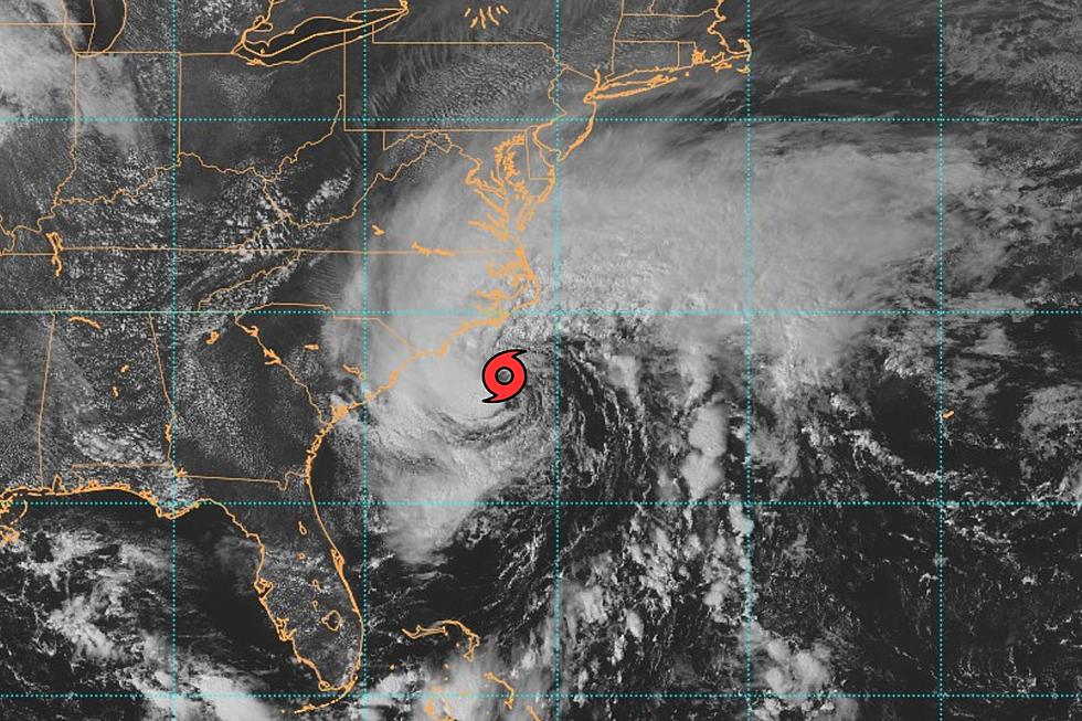
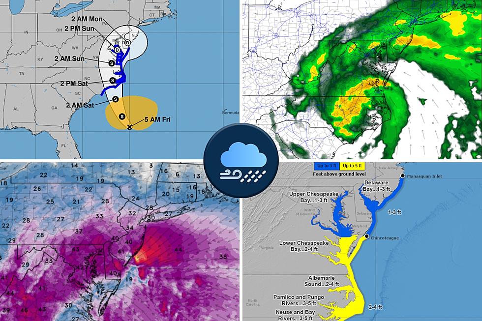
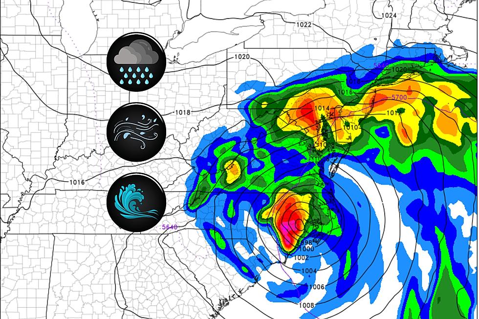
The newly upgraded tropical storm is spinning about 400 miles south of New Jersey as of Friday afternoon, and will be a big weekend rain, wind, and wave maker.
First raindrops are still about 36 hours away, but an extended period of heavy rain, gusty winds, and rough surf looks likely for New Jersey this weekend.
While neither Hurricane Franklin nor Tropical Storm Idalia are expected to have serious direct impacts in New Jersey, they may still affect our surf and/or sky.
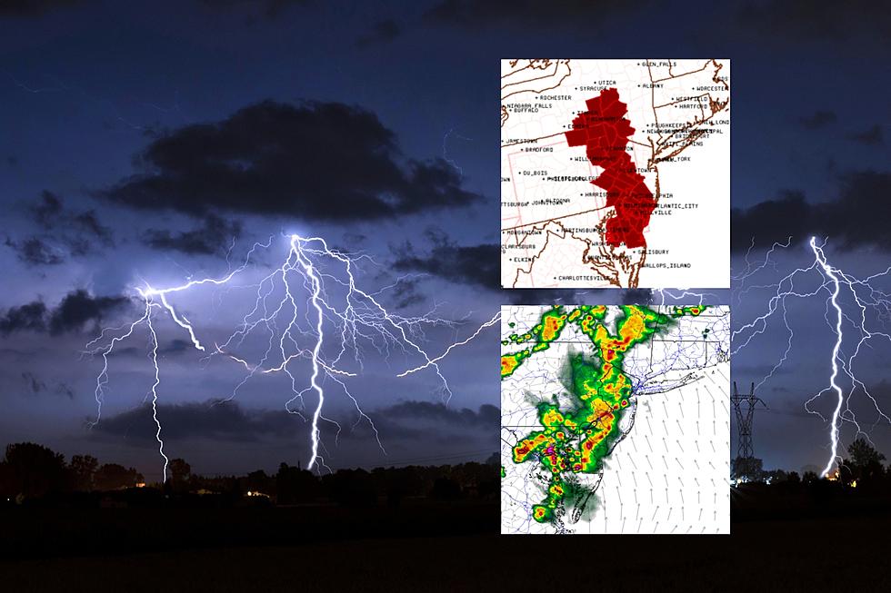
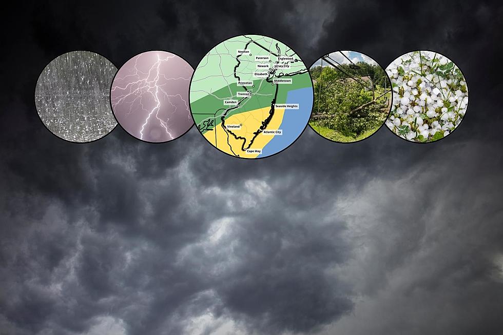
Heat and humidity will fuel a round of strong thunderstorms Monday evening, with potential impacts ranging from heavy rain to gusty winds to hail to a tornado.
From sun to storms and back again, our flip-flopping June weather continues, and New Jersey's upcoming thunderstorms could be even stronger than the last ones.
While showers and thunderstorms may dampen your plans starting around midday Wednesday, New Jersey's crops, lawns, and reservoirs really need the rain.