
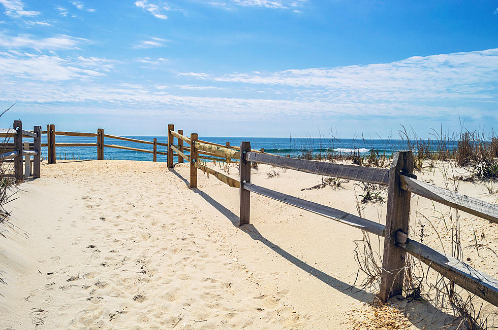
NJ beach weather and waves: Jersey Shore Report for Sun 6/26
Advisories
--None at this time.
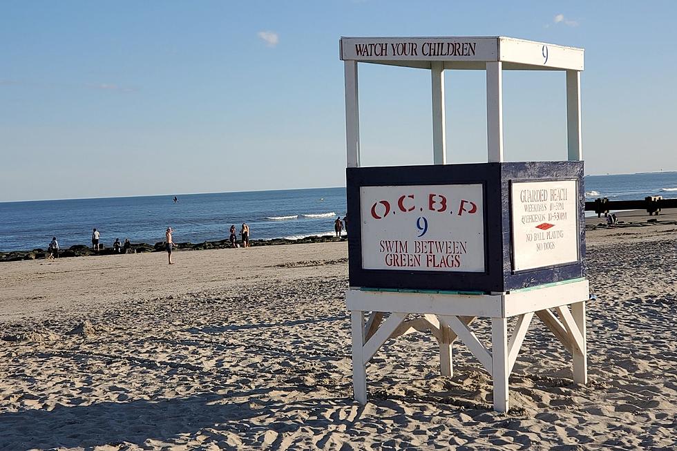
At the Shore
Current conditions and forecast as of Sun morning
| Rip Current Risk | Moderate |
|---|---|
| Waves | 2 - 4 feet |
| Winds | From the South 13 - 21 mph (Gust 30 mph) 11 - 18 knots (Gust 26 knots) |
| Ocean Temperature | 66° - 72° (Normal 64° - 69°) |
| Air Temperature | 75° - 90° |
| Sunrise/Sunset | 5:27am - 8:30pm |
| UV Index | 9 (Very High) |
Tide Times
| SANDY HOOK Sandy Hook Bay | High Sun 6:44a | Low Sun 12:40p | High Sun 7:02p | Low Mon 1:38a | |
| LONG BRANCH Atlantic Ocean | High Sun 6:18a | Low Sun 12:04p | High Sun 6:36p | Low Mon 1:02a | |
| MANASQUAN INLET Atlantic Ocean | High Sun 6:32a | Low Sun 12:16p | High Sun 6:50p | Low Mon 1:14a | |
| SEASIDE HEIGHTS Atlantic Ocean | High Sun 6:14a | Low Sun 12:08p | High Sun 6:32p | Low Mon 1:06a | |
| SEASIDE PARK Barnegat Bay | High Sun 10:24a | Low Sun 4:45p | High Sun 10:42p | Low Mon 5:43a | |
| BARNEGAT INLET Barnegat Bay | High Sun 6:37a | Low Sun 12:36p | High Sun 6:56p | Low Mon 1:41a | |
| MANAHAWKIN BRIDGE Manahawkin Bay | High Sun 9:31a | Low Sun 4:19p | High Sun 9:49p | Low Mon 5:17a | |
| LITTLE EGG INLET Great Bay | High Sun 7:16a | Low Sun 1:04p | High Sun 7:38p | Low Mon 2:06a | |
| ATLANTIC CITY Atlantic Ocean | High Sun 6:26a | Low Sun 12:18p | High Sun 6:47p | Low Mon 1:20a | |
| OCEAN DRIVE BRIDGE Townsends Inlet | High Sun 6:41a | Low Sun 12:33p | High Sun 7:09p | Low Mon 1:40a | |
| WILDWOOD CREST Atlantic Ocean | High Sun 6:37a | Low Sun 12:24p | High Sun 6:58p | Low Mon 1:29a | |
| CAPE MAY Delaware Bay | High Sun 7:34a | Low Sun 1:18p | High Sun 7:54p | Low Mon 2:23a |
Marine Forecast
From the National Weather Service, Mt. Holly
SMALL CRAFT ADVISORY IN EFFECT FROM THIS EVENING THROUGH MONDAY AFTERNOON
TODAY: SW winds 5 to 10 kt, becoming S 15 to 20 kt with gusts up to 25 kt. Seas 3 to 4 ft. Swell mainly from the E with a dominant period of 9 seconds.
TONIGHT: S winds 15 to 20 kt with gusts up to 25 kt. Seas around 4 ft. Swell mainly from the S with a dominant period of 6 seconds.
MON: S winds 15 to 20 kt, becoming SW 10 to 15 kt late. Gusts up to 25 kt. Seas 3 to 5 ft. Showers with a chance of tstms. Swell mainly from the S with a dominant period of 5 seconds.
MON NIGHT: SW winds 5 to 10 kt, becoming NW with gusts up to 20 kt after midnight, then becoming N 10 to 15 kt with gusts up to 20 kt late. Seas 3 to 4 ft. Showers likely early in the evening. A chance of tstms in the evening. Swell mainly from the SE with a dominant period of 8 seconds, becoming mainly from the E with a dominant period of 8 seconds after midnight.
TUE: N winds 10 to 15 kt with gusts up to 20 kt, becoming NW around 5 kt in the afternoon. Seas around 3 ft in the morning, then 2 ft or less.
TUE NIGHT: SW winds 5 to 10 kt. Seas 2 ft or less.
WED: SW winds around 5 kt, becoming S in the afternoon. Seas 2 ft or less, then around 3 ft in the afternoon.
WED NIGHT: SW winds 5 to 10 kt. Seas around 3 ft.
THU: W winds 5 to 10 kt, becoming S in the afternoon. Seas around 3 ft.
THU NIGHT: SW winds 10 to 15 kt. Seas 3 to 4 ft. Winds and seas higher in and near tstms.
Plan Your Trip
Data on this page amalgamated from several sources, including the National Weather Service (weather), National Ocean Service (tides), U.S. Naval Observatory (sun), and the U.S. Environmental Protection Agency (UV index).
Dan Zarrow is Chief Meteorologist for Townsquare Media New Jersey. The Shore Report is generated semi-automatically daily at 5 a.m. from mid-May to late September. Follow Dan's weather blog, Facebook page, and Twitter feed for your latest forecast and realtime weather updates.
33 Beach Umbrellas You've Seen At The Jersey Shore
Gallery Credit: Rich De Sisto
Jump on these waterfront NJ Shore home rentals for summer 2022
Gallery Credit: Judi Franco
New Jersey's Beach Etiquette Commandments
Gallery Credit: Eddie Davis
More From SoJO 104.9 FM


![Dare You Not to Swoon Over Baby Siberian Tigers at Six Flags in Jackson, NJ [VIDEO]](http://townsquare.media/site/398/files/2022/06/attachment-Siberian-Tiger-Cubs.jpg?w=980&q=75)