Thursday NJ weather: More near-record warmth and high fire danger
The Bottom Line
Well, if you ignore the 1.) high fire danger, 2.) spiraling drought concerns, and 3.) elevated pollen levels, Wednesday was a spectacular weather day! And we have more unseasonable warmth on the way.
Thursday will probably be the warmest day of the week. The warmest since September, in fact. Temperatures will run about 25 degrees above normal for mid-April. Not unheard of. But rare. And kind of ridiculous. Record highs are in jeopardy — 86 at EWR, 85 at TTN, 83 at ACY.
We will squeeze out one more warm, dry day on Friday. Changes settle in this weekend, with the arrival of cooler temperatures. And there are two chances of rain in the forecast too.

Thursday
Sunny. Dry. Breezy. Very warm.
That's it. That's the forecast.
Normal highs for the 13th of April are 62 to 63 degrees across New Jersey. Meanwhile, we are looking at summerlike mid 80s for this Thursday afternoon. 90 degrees is not out of the question somewhere in the state.
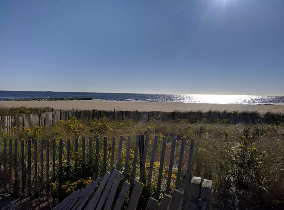
Even coastal communities should be on the warm side, as the land breeze again overtakes the sea breeze. (Although keep in mind, the ocean is still pretty chilly for a dip — water temperatures are 52 to 55 degrees.)
As you bask in this middle-of-summer kind of warmth, keep in mind the wildfire danger remains high to very high. That's due to low humidity, breezy conditions, and dry brush. (Those factors should be better on Friday, and hopefully we'll see some healthy rain this weekend.)
Friday
One more day in the 80s. And again, picture perfect with partly sunny skies and dry weather. Dew points will creep up a bit through Friday night, but I doubt you'll really feel an increase in humidity or "stickiness" in the air.
Saturday
Changes arrive this weekend, thanks to a shift in wind direction, increased cloud cover, and raindrops. But neither day will even come close to a total washout.
Saturday will turn mostly cloudy, with a southeasterly breeze blowing off the ocean up to 15 mph. As a weak disturbance rides through New Jersey's atmosphere, a few hours of unsettled weather is expected. Scattered showers are likely Saturday, especially in the afternoon and early evening hours. There could be enough instability in the atmosphere for rumbles of thunder, but I doubt severe weather will be a concern.
Highs on Saturday will "only" reach 65 to 70 degrees. A far cry from the earlier summerlike conditions. But that is still a bit above normal for this time of year.
Sunday-Monday
Sunday daytime looks pretty good, before another shortwave leads to another chance of rain.
We should see a mix of sun and clouds on Sunday. I am concerned about a more prominent easterly (on-shore) breeze keeping skies cloudier and greyer. But things are trending dry during the day Sunday.
Late-night, a line of rain will traverse the entire state. Latest models even keep the wettest weather after about Midnight. Raindrops may linger throughout the first half of Monday, before skies clear.
Sunday's high temperatures should be close to 70 degrees (away from the coast). We'll cool into the lower-mid 60s on Monday.
The Extended Forecast
More seasonable, springtime weather should be the theme for next week. My latest forecast calls for 50s on Tuesday and 60-ish on Wednesday. There's not much hope for rain again until next weekend. So I fear the fire danger and drought concerns are here to stay for a while.
Dan Zarrow is Chief Meteorologist for Townsquare Media New Jersey. Follow him on Facebook or Twitter for the latest forecast and realtime weather updates.
Play ball NJ: New Jersey baseball pros to watch in the MLB
Gallery Credit: Erin Vogt
Up or down? Average property tax changes in NJ in 2022
Gallery Credit: Sergio Bichao/Townsquare Media


