NJ weather: A full week of mild temperatures ahead
The Bottom Line
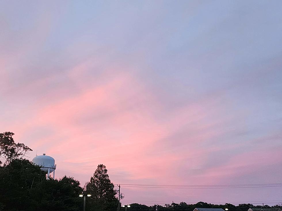
There are some really nice days in this weather forecast. Including both Thursday and Friday, thanks to warming temperatures, dry weather, and bright skies.
However, there is one wrinkle looming over the New Year's weekend. Our next storm system will drive a batch of rain through New Jersey, mainly on New Year's Eve Saturday. If you plan to ring in 2023 outdoors, you might want to have a poncho or umbrella handy.
Thursday
A few spots in New Jersey hit 50+ degrees on Wednesday. And we should see many more locales above that mark on Thursday.
Thermometers are starting off in the 20s and 30s. Pretty typical for this time of year, so we will call it a seasonable chill.
We do have a blanket of clouds overhead to start the day. But sunshine should win out by the afternoon. High temperatures will flirt with 50 degrees across the state. That is 5 to 10 degrees above normal for late December.
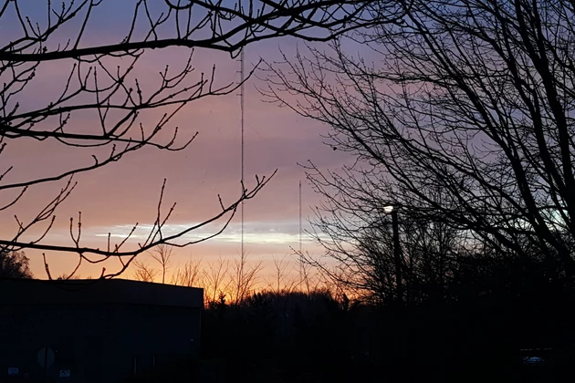
Thursday night stays clear and quiet. Lows will dip into the 30s. At least close to freezing for interior NJ. Patchy fog is a possibility, especially around the southern half of the state.
Friday
The nicest day of the week. I make that claim because it will probably be the warmest day of the week.
We should see lots of sunshine from Friday morning through early afternoon, before clouds start to thicken up again. Once again, we will enjoy a completely dry day.
In terms of temperatures, my latest forecast puts afternoon highs in the mid 50s for most of the state. Running 12 degrees above normal.
Saturday (New Year's Eve)
Not so beautiful to start the weekend. Saturday is going to be damp and dreary for a time. But it will not be a total washout.
We'll probably start with areas of fog. And lots of clouds — with mostly cloudy to overcast conditions lasting all day. High temperatures will still be on the mild side, in the lower to mid 50s.
Spotty showers may come into view around midday Saturday. And then widespread rain seems most likely from mid-afternoon through late evening. Let's say 3 p.m. to 10 p.m. A widespread quarter to half inch of total rainfall is expected.
So the wettest weather coincides with Saturday evening — not ideal for New Year's Eve revelers. But there's nothing severe, heavy, or crazy in the forecast. Just soggy weather.
Sunday (New Year's Day)
For the record, it is not unusual to have a warm and/or wet New Year's here in New Jersey. In fact, the last four New Year's Days had measurable rain or snow in New Jersey. And those of those — 2020 and 2022 — brought temperatures in the 50s. Deja vu.
A rain shower remains possible through early Sunday morning, but raindrops look pretty unlikely beyond daybreak. We'll see partial clearing by Sunday afternoon, with a mix of sun and clouds emerging.
Plus, there will not be a huge blast of cold air behind this storm system. So high temperatures on Sunday will push into the mid to upper 50s. 60+ degrees is a possibility, especially along the southern coast. Not too shabby.
The Extended Forecast
50s return for Monday. And Tuesday too, which will turn mostly cloudy with some isolated showers possible.
Temperatures are forecast to surge into the 60s for Wednesday. Then our next storm system drives in widespread rain — right now, that wet weather is forecast to begin late Wednesday afternoon.
I think our next cold blast and chance of wintry weather will arrive by next weekend. Yes, we are just over a week away from conditions turning much more January-ish.
Dan Zarrow is Chief Meteorologist for Townsquare Media New Jersey. Follow him on Facebook or Twitter for the latest forecast and realtime weather updates.


