34 Dead from Hurricane Sandy – More Chaos to Come?
Hurricane Sandy has left places like Jamaica, Cuba and the Bahamas in shambles - sadly the worst of this system may be yet to come.
Sandy's destruction so far is unlike anything seen in the last two decades. At least 34 lives have been taken from this storm so far after cutting through the Caribbean as a Category 2 Hurricane with winds that reached toward 110 MPH. As bad as this storm has already been, the collision that Sandy may take could make this worse than anything imaginable.
Sandy has as of 3pm on Oct. 26 an expanding wind field already 550 miles wide, making this storm size massive. Now take this hurricane and have it collide with a polar air mass coming down from the North, and you have the possibility of a storm that could see Sandy actually get stronger before she hits land (this hurricane is currently a Category 1 with 80-85 MPH winds).
You have heard this storm being dubbed "Frankenstorm", ABC News has been calling this an "Extra-Tropical Cyclone", you may see this as a once in a lifetime storm.
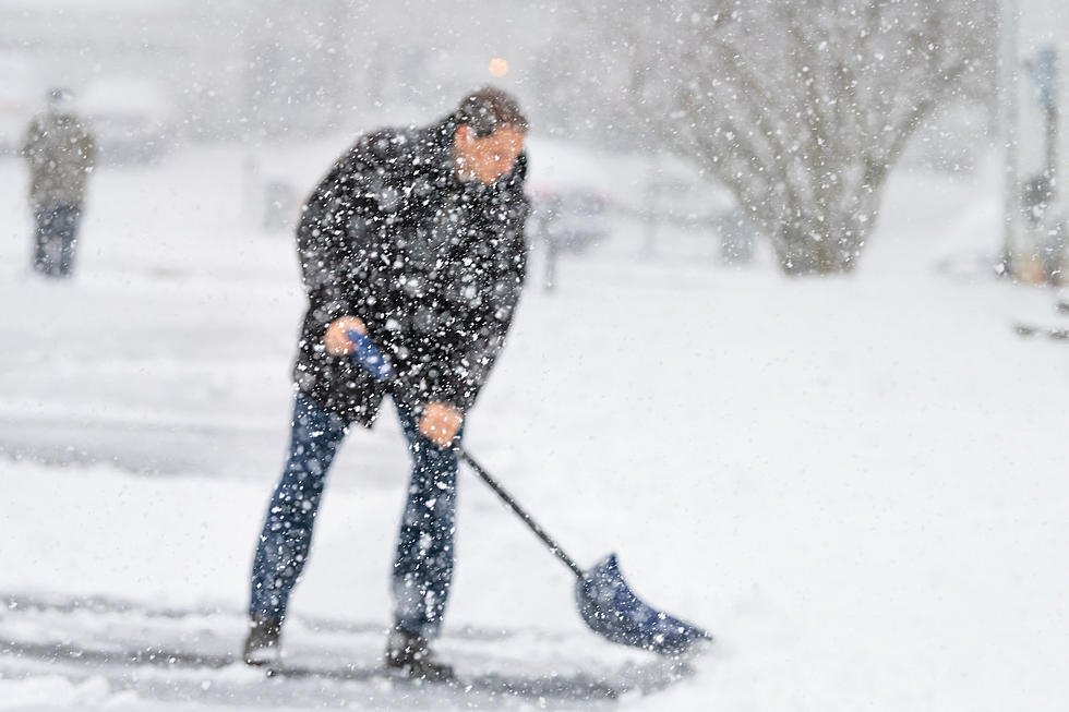
The things to watch for is storm surges that can produce waves as high as 15 feet in some parts of the Atlantic Coast, blizzard conditions in parts of higher elevations along the coast (like the Appalachians, and parts of Pa.), loss of power (like last year's Halloween storm), and damages that could be costly (over $1 Billion!)
ABC News reports that President Obama has directed FEMA Administrator Craig Fugate to ensure that all available federal resources will be available to support state and local responders in potentially affected areas along the east coast as we are preparing for this storm.
Keep your radio with SoJO this weekend, and keep SoJO1049.com on your computer to get up to date info on this storm, and follow our up to the minute radar of conditions.
More From SoJO 104.9 FM


